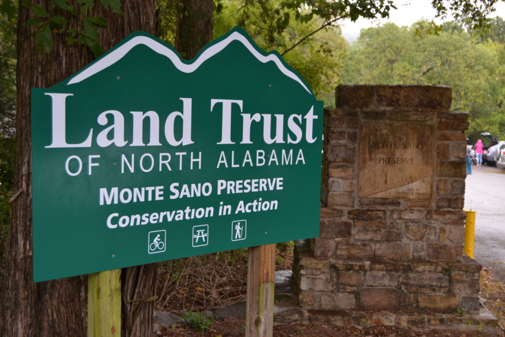
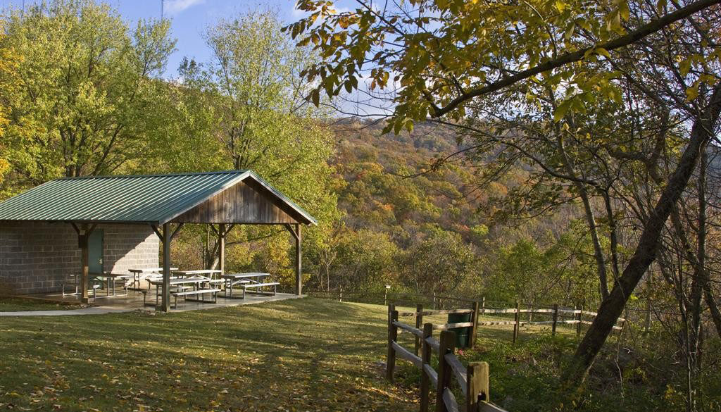
Monte Sano Nature Preserve is one of the largest urban land preserves in the United States. Only two miles from Downtown Huntsville, this 1100+ acre natural escape features over 22 miles of free public trails for hiking, biking, and outdoor recreation. Land Trust trails on Monte Sano offer varying levels of difficulty and also connect to the trail networks managed by Monte Sano State Park and Burritt on the Mountain. This nature preserve showcases the importance of conservation with an abundance of native wildflowers, karst features, historically significant sites, sink holes, waterfalls and more.
Trailheads
- Bankhead – 2442 Bankhead Pkwy NE, Huntsville, AL 35801 (portalet restroom available)
- Cleermont – 506 Cleermont Dr SE, Huntsville, AL 35801 (limited parking)
- Oak Park – 2250 Oakwood Ave NE, Huntsville, AL 35801
Park Rules: Please walk bikes through the park as you cross to and from the trailhead. Trailhead located behind baseball fields. - South Monte Sano – 1970 Monte Sano Blvd SE, Huntsville, AL 35801
- Three Caves – 901 Kennamer Dr SE, Huntsville, AL 35801
Trail Rules + Tips
Report a Trail Issue
Trails
Monte Sano Nature Preserve includes 24 trails (approximately 22 miles in total) but here are some suggested highlights:
- Old Railroad Bed Trail (1.70 mi): Follow the path of one of the country’s oldest, and shortest-lived, rail corridors—Monte Sano Railway. As you hike the narrow dirt and stone bed, you will pass waterfalls and the original stone bridge supports. FREE Audio Trail Tour along Old Railroad Bed Trail available in the TravelStorys app.
- High Trail (3.33 mi): While a challenging hike, this trail passes a small quarry and the remnants of Monte Sano Hotel (accessed using Hotel Basin Trail). Built in the late 1800’s, this resort promised fresh water springs, cool climates, and valley views. It crosses a significant length of the preserve from Bankhead Parkway on the North end to Monte Sano Blvd on the South end.
- Bluff Line Trail (2.63 mi): This moderately difficult trail is wide and well marked, this trail is easy and picturesque from Bankhead Trailhead to Wagon Trail. At this intersection with twin benches pay attention to trail signage as the turn in the trail can be easy to miss. The trail then takes a more challenging uphill route to intersect with Waterline Trail.
- Wildflower Trail (0.58 mi): A great family hike! The trail winds alongside Fagan Creek and in the spring offers a beautiful display of native wildflowers. Download our Self-Guided Trail Tour.
- Three Caves Loop (0.26 mi): Circle the perimeter of a large, former limestone quarry. The open area outside of the cave openings is now used as a unique venue for Land Trust fundraising events. Three Caves is not open for visitors due to falling rock inside.
- Alms House Trail (1.76 mi): Named for a county run poor house located in what is now Hermitage Park, this easier trail runs from Bankhead Trailhead all the way to Three Caves Loop and is mostly easy with a few moderately difficult, rocky sections. A close trail with lots of vegetation and rocks, this trail intersects many trails along its route. This hike crosses springs and rock formations in a picturesque woodland setting.
- Waterline Trail (0.76 mi): Difficult trail that follows an old water line between the Bluff Line and Alms House trails. Very steep, dangerous, narrow, and technical trail between Wagon and Bluff Line trails. This section is only for experience hikers and should not be attempted alone. The Dry Falls are gorgeous and a sight to see, but the difficult hike will require skill. Between the Alms House and Wagon trails, this is a gently sloping and pretty hike. Download our Self-Guided Trail Tour.
- Oak Park Trail (0.96 mi): Access this trail from the Oak Park Trailhead or where it intersects the Bankhead Trail. This trail is narrow, but well marked and moderately difficult as it has several steep areas. This trail has beautiful scenery as it runs parallel to the Dallas Spring Branch.
- Trough Springs Trail (1.34 mi): This moderately difficult trail winds through lovely old growth woodlands and across several streams on its way to the Historic Trough Springs. Steep sections at the beginning and end of the trail require sure footing and may be difficult for some, but the rest of the trail is relatively flat. A hiking pole and the trail map app are a must for this trail, especially in the fall when the dry leaves obscure the trail. The stream crossings and rock formations are stunning any time of year, and the Trough Springs are a nice end point for this out-and-back hike. Download our Self-Guided Trail Tour.
Self-Guided Trail Tours
- FREE Audio Trail Tour available in the TravelStorys app
- Waterline Trail
- Trough Spring
- Wildflower Trail
Bankhead Pavilion
Located at Land Trust’s Hiker’s Parking Lot off of Bankhead Parkway, Bankhead Pavilion is perfect spot for a picnic and can also be reserved for small private gatherings.